Northern Thailand has climbs that would be famous if they were in Europe. Doi Inthanon is roughly 38 kilometres of ascent to 2,565 metres, with a final stretch that sits above 11 per cent and a section at around 14. Doi Ang Khang, on Route 1249, is about eleven kilometres averaging over 10 per cent with pitches near 20. Neither is well known outside Asia, and both are entirely rideable by an amateur who has brought the right gears.
This one is for the cyclist who came here to climb. If you are looking for a pleasant day out on a hire bike, you want the flat valley rides around Chiang Mai instead — these are serious mountain roads with no bail-out options and no shade on the upper slopes.
- Highest point in ThailandDoi Inthanon, 2,565 m
- Steepest of the big onesDoi Ang Khang, Route 1249
- SeasonNovember to February
- Gearing targetAround 28 gear inches or lower
Why northern gradients are steeper than the numbers suggest
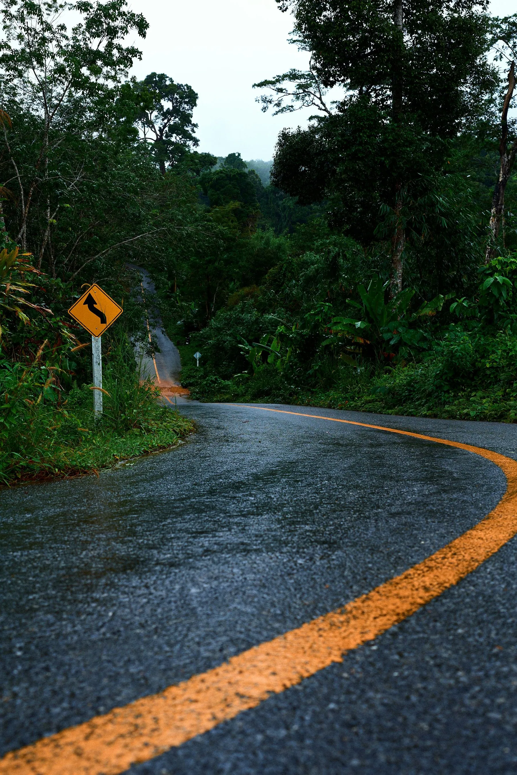
Thai mountain roads were built to connect villages, not to be graded for vehicles at a comfortable percentage. Where an Alpine road traverses a slope in long diagonals, a Thai road frequently goes straight up the spur and accepts whatever gradient results. The consequence is that an average figure tells you very little: a climb averaging 6 per cent here can contain kilometres at 12 and ramps beyond 20.
Add heat, and the effect compounds. On a 20 per cent pitch you are moving at walking pace with no airflow at all, in humidity that stops sweat working. Riders who climb comfortably in southern Europe find themselves stopping in the north of Thailand not because their legs have gone but because they have overheated — see cycling in Thailand's heat and humidity.
Doi Inthanon
The big one. From Chom Thong, Highway 1009 climbs continuously to Thailand's highest point at 2,565 metres — around 38 kilometres of ascent with roughly 2,200 to 2,300 metres of gain, which puts it in a different category from anything else in the country. From Chiang Mai it is about 48 kilometres to the base and then the climb, which makes a day ride from the city long but not impossible; most riders sleep at Chom Thong or drive to the start.
The profile is deceptive. There are false flats and even short descents in the middle, which drags the average down and creates the impression of a manageable gradient. The reality is that the last stretch is where the climb lives: the final kilometres average around 11 per cent, with a section of about three and a half kilometres at around 14 per cent that catches out riders who have paced the middle by feel rather than by numbers.
The surface is good throughout, there is a national park entrance fee on the road, and the summit is genuinely cold at dawn in December and January — riders regularly descend from it in more clothing than they thought they would need in Thailand. There is food and water at intervals on the lower and middle sections and very little at the top.
Do not descend Doi Inthanon on tired rim brakes. It is a long, continuous, fast descent with traffic on it, and heat build-up in the rims is a real failure mode on a loaded bike. Descend in stages, let the wheels cool, and check pad wear before you start.
Doi Ang Khang
The steep one. Route 1249 leaves the valley near Fang and climbs to the pass at around 1,800 metres in about eleven kilometres, averaging a shade over 10 per cent with a maximum around 19 per cent on a sustained section, and it is unrelenting. There is no rhythm to be found on it; it is a climb where a 34 × 34 is the minimum and something lower is better.
It is also one of the most rewarding rides in the country. The road is narrow and winding, the switchbacks are tight, the temperature drops noticeably as you climb, and the top has the Royal Agricultural Station, temperate-climate gardens and hill-tribe villages that feel a very long way from the Thailand most visitors see.
The descent is the part to take seriously. Narrow, steep, with tight blind corners and occasional gravel washed onto the surface, and it is the sort of road where a car coming up will be in the middle of it. Descend well within yourself — the general advice in mountain roads and hairpin bends applies with particular force here.
The rest of the north's climbs
| Climb | Road | Character |
|---|---|---|
| Doi Suthep | Highway 1004 | From the western edge of Chiang Mai to the temple in a little over 10 km, consistent gradient, no respite. The everyday benchmark climb. |
| Doi Pui | Continues past Doi Suthep | Adds height and steeper pitches beyond the temple and Bhubing Palace |
| Mon Cham / Mae Sa valley | Route 1096 | Part of the Samoeng loop; the spur up to Mon Cham is a short brutal wall |
| Soppong – Mae Hong Son | Route 1095 | Not one climb but six, with sections beyond 20 per cent. The crux of the Mae Hong Son loop |
| Route 1148 | Route 1148 | Nan to Chiang Kham. Ridgeline riding, endless rollers, almost no traffic. Sublime. See Route 1148 and the northern back roads |
| Doi Chang / Doi Wawee | Chiang Rai back roads | Coffee country, long steady climbs, quiet |
Gearing and equipment
This is the section that matters most, because it is the thing you cannot fix once you are here.
- Lowest gear around 28 gear inches or lower. Calculate yours before you book. A compact chainset with a wide-range cassette gets an unloaded road bike close; loaded, you want a triple, a sub-compact or a very low 1×.
- Brakes you trust. Disc brakes are a real advantage on these descents. If you are on rims, carry spare pads and check them weekly.
- Water capacity. Nothing on the upper slopes. Two large bottles minimum, three if you are slow.
- A warm layer. Summit temperatures in the cool season are genuinely cold, and a sweat-soaked descent from 2,500 metres will chill you badly.
- Sun cover. The upper slopes are exposed and the UV at altitude is harsh.
- A light. These climbs take longer than planned and dusk arrives at much the same time all year.
What to bring more generally, and what you can buy here, is in cycling gear for a hot-climate tour, and the shops that can actually help you are listed in bike shops and repairs in Thailand. Chiang Mai is the only place in the north where a modern bicycle can be properly repaired.
Season and timing
November to February, without qualification. The cool season gives you low temperatures at altitude, clear air and the views these climbs are ridden for.
March to May is bad in two ways at once: the heat is extreme, and agricultural burning fills the northern valleys with smoke haze thick enough to hide the mountains entirely and to make hard breathing genuinely unpleasant. Riders arrive expecting the photographs and find grey air and a 39-degree afternoon.
The wet season, roughly June to October, is green, quiet and cooler, but northern mountain roads suffer landslips and washouts in August and September and the long descents are wet and slick. If you come then, ride the shorter climbs and leave the big descents for a dry morning. See cycling in Thailand's rainy season.
Start at first light on any big climb here. It is not about beating the traffic — it is that you want to be off the exposed upper slopes and well into the descent before the middle of the day. On Inthanon that means leaving Chom Thong before six.
Traffic and hazards on the climbs
Traffic on the northern mountain roads is light. What there is consists of pickups, minivans taking tourists to viewpoints and temples, and occasional lorries labouring up in low gear. Minivan drivers cut apexes and are the single most common near-miss on these roads.
Beyond that: gravel washed onto bends after rain, unsigned roadworks, and dogs at the bottom of descents where villages sit. Descending at 60 km/h into a village where a dog crosses your line is the scenario worth thinking about in advance — see dogs and cyclists in Thailand. And read how to cycle safely in Thai traffic for the general habits.
Frequently asked questions
How hard is Doi Inthanon by bike?
Very. Around 38 kilometres of climbing with over 2,200 metres of gain, and a final section that averages around 11 per cent with a stretch of about 3.5 kilometres at roughly 14. It is longer than almost any European climb and the last part is where it bites. Bring gears, not ambition.
What gearing do I need for northern Thailand?
A lowest gear of around 28 gear inches or lower is the figure experienced riders here quote. Work yours out with a gear calculator before you travel; you will not find the parts to fix it locally outside Chiang Mai and Bangkok.
Which is the steepest climb in northern Thailand?
Among the well-known ones, Doi Ang Khang on Route 1249 — averaging over 10 per cent for around eleven kilometres with a maximum near 19. The stage between Soppong and Mae Hong Son on Route 1095 contains steeper individual pitches, well beyond 20 per cent, but is not a single climb.
When is the best time to ride the northern climbs?
November to February. Avoid March to May entirely: extreme heat plus burning haze. June to October is rideable but wet, with landslip risk on the mountain roads.
Is the altitude a problem?
Not physiologically — 2,565 metres is not high enough to affect performance meaningfully for most people. What it does affect is temperature. Summit mornings in January can be near freezing, and a sweat-soaked descent without a layer is genuinely dangerous.
Can I do these climbs on a hire bike?
Only on a properly specified one from a specialist operator in Chiang Mai. A guesthouse hybrid does not have the gears or the brakes for Doi Inthanon or Doi Ang Khang. See renting a bicycle in Thailand.