If you are driving through Bangkok rather than to it, the best decision you can make is not to enter the city at all. Kanchanaphisek Road — Route 9, the Bangkok Outer Ring Road — is a roughly 168-kilometre loop that runs right round the metropolitan area, and it exists precisely so that a lorry from Nong Khai bound for Ranong never has to touch Sukhumvit. It works just as well for a hire car.
The catch is that the ring is not one road. It is three, built by two different authorities, with different rules and different tolls on each arc, and navigation apps route across it in ways that are not always obvious. Knowing which third you are on saves both money and confusion.
- Total lengthAbout 168 km, almost a complete loop
- Eastern arcMotorway 9, tolled, controlled access
- Western arcHighway 9, free, with junctions and traffic lights
- Southern arcKanchanaphisek Expressway, tolled, EXAT
The three arcs
The eastern arc runs from Bang Pa-in in Ayutthaya province, past Rangsit and Min Buri, down to Bang Phli in Samut Prakan near Suvarnabhumi airport. This is a proper controlled-access motorway, designated M9, operated by the Department of Highways and tolled. It is fast, it has no traffic lights and no U-turns, and it is where the barrier-free M-Flow system was first introduced — worth remembering if you are in a hire car.
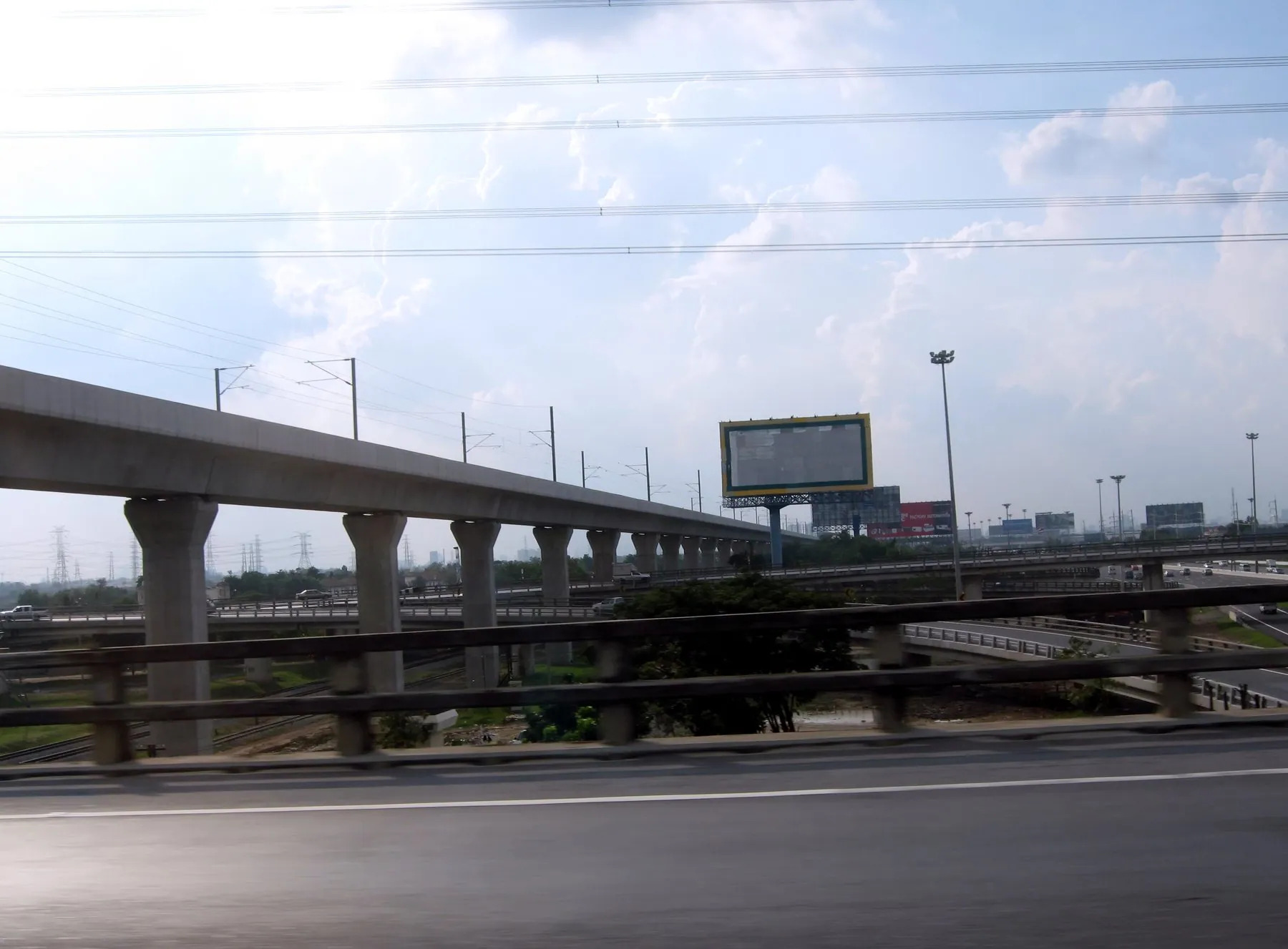
The southern arc continues from Bang Phli west across the Chao Phraya on the Kanchanaphisek Bridge, the big cable-stayed crossing at Phra Samut Chedi, and on to Suksawat and Bang Khun Thian. This section is an expressway run by the Expressway Authority of Thailand rather than a motorway, so it uses the expressway toll system and Easy Pass rather than the motorway one.
The western arc runs from Bang Khun Thian north through Bang Bua Thong and Nonthaburi back to Bang Pa-in. Most of it is an ordinary trunk highway: free, but with at-grade junctions, traffic lights, U-turn bridges and roadside commerce. It is the slowest third of the ring by some margin.
When it saves you hours
Four journeys are transformed by it.
| Journey | Use | Why |
|---|---|---|
| North to south (Chiang Mai to Hua Hin) | Western arc | Avoids the whole city; joins Highway 4 and Highway 35 directly |
| North to east (Isaan to Pattaya) | Eastern arc | M9 to Bang Phli, then straight onto M7 |
| Suvarnabhumi to Kanchanaburi | Eastern then western | Reaches Bang Yai and the M81 motorway without the city |
| Suvarnabhumi to Hua Hin | Eastern and southern | Crosses the river south of Bangkok onto Rama II |
The pattern is obvious once you see it: the ring is how the radial routes connect to each other. Highway 2 into Isaan starts from Saraburi, reached from Bang Pa-in at the top of the ring. Highway 35 to Hua Hin starts at the bottom. M7 to Pattaya starts from the eastern arc. M81 to Kanchanaburi starts from Bang Yai on the western arc. Not one of them requires you to see a Bangkok traffic light.
When it costs you time instead
The ring is 168 kilometres round. Going the long way round three quarters of it to save twenty kilometres of city driving is a false economy, and at some times of day the city is genuinely quicker. Three situations where the ring is the wrong choice:
- Short hops on the western arc. With traffic lights and local traffic, this section can average less than a main road through the suburbs.
- Rush hour at the pinch points. The ring queues too, especially around Bang Yai, Bang Bua Thong and the approaches to the bridge crossings. See Bangkok rush hour.
- Anywhere actually inside the ring. If your destination is Sukhumvit or Silom, the elevated expressways through the middle are the right tool. That is what they are for.
Ask your navigation app for the route that avoids tolls and then ask for the fastest, and compare. On a Bangkok bypass the two answers are frequently forty minutes apart, and the toll is small. Our comparison of navigation apps in Thailand covers which ones handle the ring sensibly.
Tolls on the ring
Because three operators are involved, you may pay more than once on a single circuit — the motorway toll on the eastern arc, the expressway toll on the southern arc, nothing on the western arc. Cash lanes exist at every barrier plaza. The eastern arc is where you are most likely to meet a barrier-free gate, so read the overhead gantry early and keep left towards the cash booths. The full mechanics are in toll roads in Thailand.
Motorbikes are not allowed on the tolled sections. The eastern motorway arc and the southern expressway arc are both closed to motorcycles of any size. The free western arc is an ordinary highway and is open to them. If you are riding a bypass round Bangkok, you are on the western side whether you like it or not.
Reading it on the road
Signage uses the shield number 9 and the name Kanchanaphisek, and the destination names on the gantries are the far ends of the ring rather than Bangkok itself — so a sign for Bang Pa-in on the eastern arc means north, and Bang Khun Thian on the western arc means south. This trips people up, because neither name means anything to a visitor. Fix the two ends in your head before you set off, or you will find yourself doubling back at the next interchange.
The one genuine navigational hazard is the shared numbering: parts of the ring are Highway 9 and parts are Motorway 9, and apps sometimes present them as the same road when the rules on them differ. If a sign says Motorway, expect a toll plaza and no motorbikes.
Frequently asked questions
Is the Bangkok outer ring road a toll road?
Partly. The eastern arc is a tolled motorway and the southern arc a tolled expressway. The western arc is a free trunk highway with traffic lights.
How long does it take to drive round the whole ring?
There is rarely a reason to, but a full circuit is around 168 kilometres and would take well over two hours off-peak, considerably more with the western arc's traffic lights.
Can I get from Suvarnabhumi to the north without going through Bangkok?
Yes, and it is the standard route: join the eastern arc near Bang Phli and follow M9 north to Bang Pa-in, where you pick up Highway 1 for Chiang Mai or Saraburi for Isaan. See Bangkok to Chiang Mai by road.
Can I ride a motorbike on Kanchanaphisek Road?
Only on the free western arc, which is an ordinary highway. The tolled eastern and southern sections are closed to motorcycles.
Is the ring road the same as the expressways in the city?
No. The elevated expressways run through the middle of Bangkok and are operated by EXAT; the ring runs round the outside and is mostly Department of Highways. The difference between the two networks is explained in Thailand's expressways and motorways.
Which arc do I want for Kanchanaburi?
The western one, to Bang Yai, where Motorway 81 now runs most of the way to Kanchanaburi — the fast start to the Highway 323 drive.