Highway 2, the Mittraphap Road, is the way into northeast Thailand. It leaves Highway 1 at Saraburi, climbs onto the Khorat plateau, and runs roughly 509 kilometres north-east through Nakhon Ratchasima, Khon Kaen and Udon Thani to finish at Nong Khai on the Mekong, where the First Thai–Lao Friendship Bridge crosses to Vientiane. If you are driving to Isaan, or to Laos, this is the road.
Mittraphap means friendship, and the name is literal. American engineers built the road with US aid in the mid-1950s to supply air bases in the northeast, it was the first highway in Thailand constructed to international standards, and it was formally named the Friendship Highway in February 1957. Seventy years on it is still the spine of the region's economy and still carries every lorry heading for the Lao border.
- LengthAbout 509 km
- FromSaraburi, at the junction with Highway 1
- ToNong Khai and the First Thai–Lao Friendship Bridge
- ProvincesSaraburi, Nakhon Ratchasima, Khon Kaen, Udon Thani, Nong Khai
Getting on it from Bangkok
Highway 2 does not start in Bangkok. You reach it either by driving north on Highway 1 (Phahonyothin) through Rangsit and Ayutthaya to Saraburi, or by using the outer ring road to Bang Pa-in and joining from there. The eastern alternative, Highway 304 through Chachoengsao and Kabin Buri, is shorter for anyone starting on the eastern side of Bangkok but climbs through Khao Yai on a steep and heavily policed section.
The newest option is Motorway 6, the tolled intercity route from Bang Pa-in to Nakhon Ratchasima, which has been opening in stages. When it is fully in service it will take a large share of Highway 2's long-distance traffic; while it is still running trial openings with no fuel or services along its length, Highway 2 remains the road you should plan around. The current position on all of this is in Thailand's expressways and motorways explained.
The climb through the Phaya Yen hills
The first eighty kilometres past Saraburi are the only genuinely demanding part of the road. Highway 2 climbs the Dong Phaya Yen range from the central plain onto the plateau, through Muak Lek, Pak Chong and Sikhio. It is a wide road with three lanes each way on the worst gradients, but it is loaded with heavy lorries doing perhaps 30 km/h uphill and considerably more than that coming down, and there are runaway-vehicle escape lanes cut into the hillside for those whose brakes give out. They are not decorative.
Stay out of the inside lane on the long descents. Slow lorries and failing brakes both live there. Overtake decisively, get past, and do not sit alongside a fully laden truck on a downgrade. Thai pickup and lorry behaviour is worth understanding before you drive this section.
Pak Chong is the turning for Khao Yai National Park and is worth a stop in its own right. It is also the point at which the scenery changes: on the Bangkok side, wooded hills and limestone quarries; on the far side, the wide open plateau that makes up most of Isaan.
Korat, and going round it
Nakhon Ratchasima — everyone calls it Korat — is the gateway city of the northeast and the road through it is slow. There is a well-signed bypass and you should use it unless the city is your destination. From Korat, Highway 2 runs almost due north-east across flat country to Khon Kaen. Highway 24 branches south-east here towards Buriram, Surin and Ubon Ratchathani, which is the route most people take on the Isaan loop.
Korat to Nong Khai
North of Korat the road settles into the pattern it keeps for the next three hundred kilometres: four lanes divided, long straights, gentle curves, sugar cane and cassava either side, and towns strung along the carriageway at intervals of thirty or forty kilometres. Khon Kaen and Udon Thani are both large, prosperous cities with proper ring roads and every service you could want, including the region's main car hire desks.
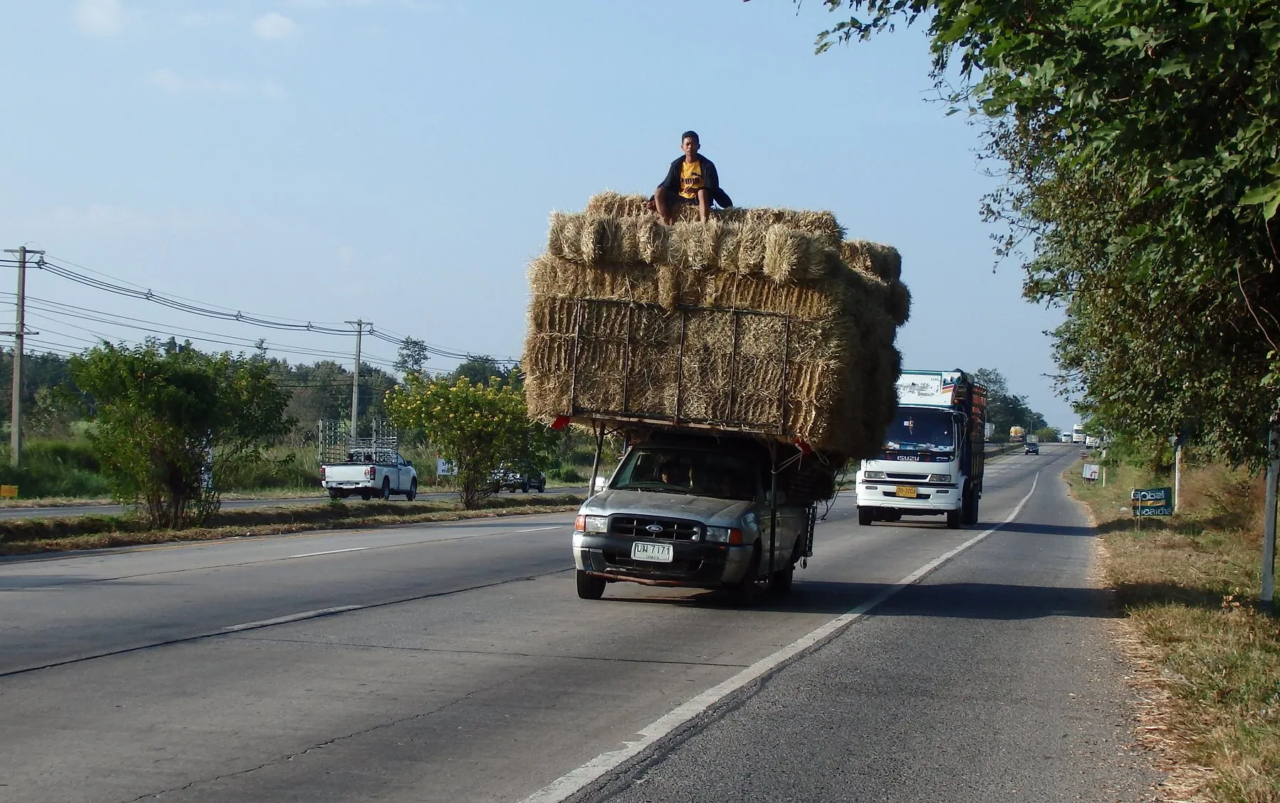
This is fast, easy driving. The dangers are not technical. They are the U-turn gaps in the central reservation where a pickup will emerge across your path, the parallel frontage roads where local traffic runs the wrong way to reach the next gap, farm machinery joining without warning, and the sheer monotony. All of it is normal in Isaan and covered in driving in Isaan.
Thai highways of this type have a service road running alongside the main carriageway, separated by a kerb. Local traffic, motorbikes and anything turning off uses it. If you miss a turning, the frontage road and the next U-turn bridge will get you back — do not brake hard or reverse on the main carriageway. See U-turns in Thailand.
The end of the road
Highway 2 finishes at Nong Khai, on the south bank of the Mekong opposite Vientiane. The First Thai–Lao Friendship Bridge opened in 1994 and is the busiest of the Mekong crossings; the road, the bridge and the Lao capital are effectively one continuous corridor, which is why the lorry traffic never thins out. Taking your own vehicle across is possible but paperwork-heavy, and taking a hire car across is not — the detail is in crossing into Laos by road.
From Nong Khai, Route 211 heads west along the river towards Chiang Khan, which is the start of the Mekong river road and a far more interesting drive than anything on Highway 2 itself.
Fuel, food and stopping
Better provided than almost any road in Thailand. Large PTT and Bangchak forecourts appear every twenty or thirty kilometres with clean toilets, air-conditioned coffee shops and often a 24-hour convenience store; the ones around Pak Chong and Khon Kaen are effectively motorway services. Our guide to service areas and rest stops explains what to expect and which chains to look for, and fuel types in Thailand covers which pump to use.
How long it takes
Bangkok to Khon Kaen is a comfortable five to six hours if the Phaya Yen climb is behaving; Bangkok to Nong Khai is a long single day and better split. Add substantially at the start and end of any public holiday, when this road carries most of Bangkok's Isaan-born workforce home in both directions — see driving during Songkran and New Year.
Frequently asked questions
Is Highway 2 a toll road?
No. Mittraphap Road is free along its whole length. The parallel Motorway 6 from Bang Pa-in towards Korat is tolled once it is fully in service.
How long does Bangkok to Nong Khai take by road?
Around nine to eleven hours of driving, depending on the Saraburi climb and how long you sit in Korat. It is a two-day trip if you want to enjoy it, and Khon Kaen is the natural overnight stop.
Why is it called the Friendship Highway?
It was built with American aid in the mid-1950s to link Bangkok with the northeast and the air bases there, and the name commemorates that co-operation. It was the first highway in the country built to international engineering standards.
Is it safe to drive at night?
It is well surfaced and mostly divided, which helps, but the northeast has unlit stretches, vehicles with failed lights, and livestock on unfenced verges. If you can arrange to do the Phaya Yen section in daylight, do. See driving at night in Thailand.
Can I drive from Highway 2 straight into Laos?
You can drive to the bridge, but you cannot simply drive over it. A private vehicle needs customs paperwork on both sides, Lao insurance and a temporary import permit, and a Thai rental car is almost always contractually barred from leaving the country. See can you take a rental vehicle out of Thailand?