Isaan is the easiest driving in Thailand. The northeast is a broad, gently tilted plateau, the highways across it are wide and straight, the traffic outside the cities is thin, and you can go an hour without seeing another foreign number plate or another hire car. If Bangkok put you off driving here and the northern hairpins frightened you, this is the region that will change your mind.
What Isaan asks for instead is patience with distance. Twenty provinces covering roughly a third of the country means towns sit sixty or eighty kilometres apart with nothing much between them, and a day's touring that looks modest on a map turns into four hundred kilometres of driving. It also asks for a little tolerance of not being catered for: menus, signs and conversation are in Thai far more often than on the coasts.
- Size20 provinces, roughly a third of Thailand
- Main arteryHighway 2, the Mittraphap Road
- TerrainPlateau; flat to gently rolling, few real hills
- TrafficLight outside Korat, Khon Kaen, Udon and Ubon
How the region is laid out
The Khorat plateau tilts down towards the Mekong, which forms the northern and eastern boundary with Laos. Highway 2 runs up the western side from Korat through Khon Kaen and Udon Thani to Nong Khai. Highway 24 cuts diagonally south-east from Korat through Buriram and Surin towards Ubon Ratchathani. Highway 212 follows the Mekong from Nong Khai through Bueng Kan and Nakhon Phanom to Mukdahan. Between those three, a dense grid of two- and three-digit routes connects everything else.
Four cities anchor it: Nakhon Ratchasima, Khon Kaen, Udon Thani and Ubon Ratchathani. All four have ring roads, airports, hospitals and rental desks — see car hire in Udon Thani and Isaan for what renting here is like and how it differs from the tourist coast.
What makes it easy
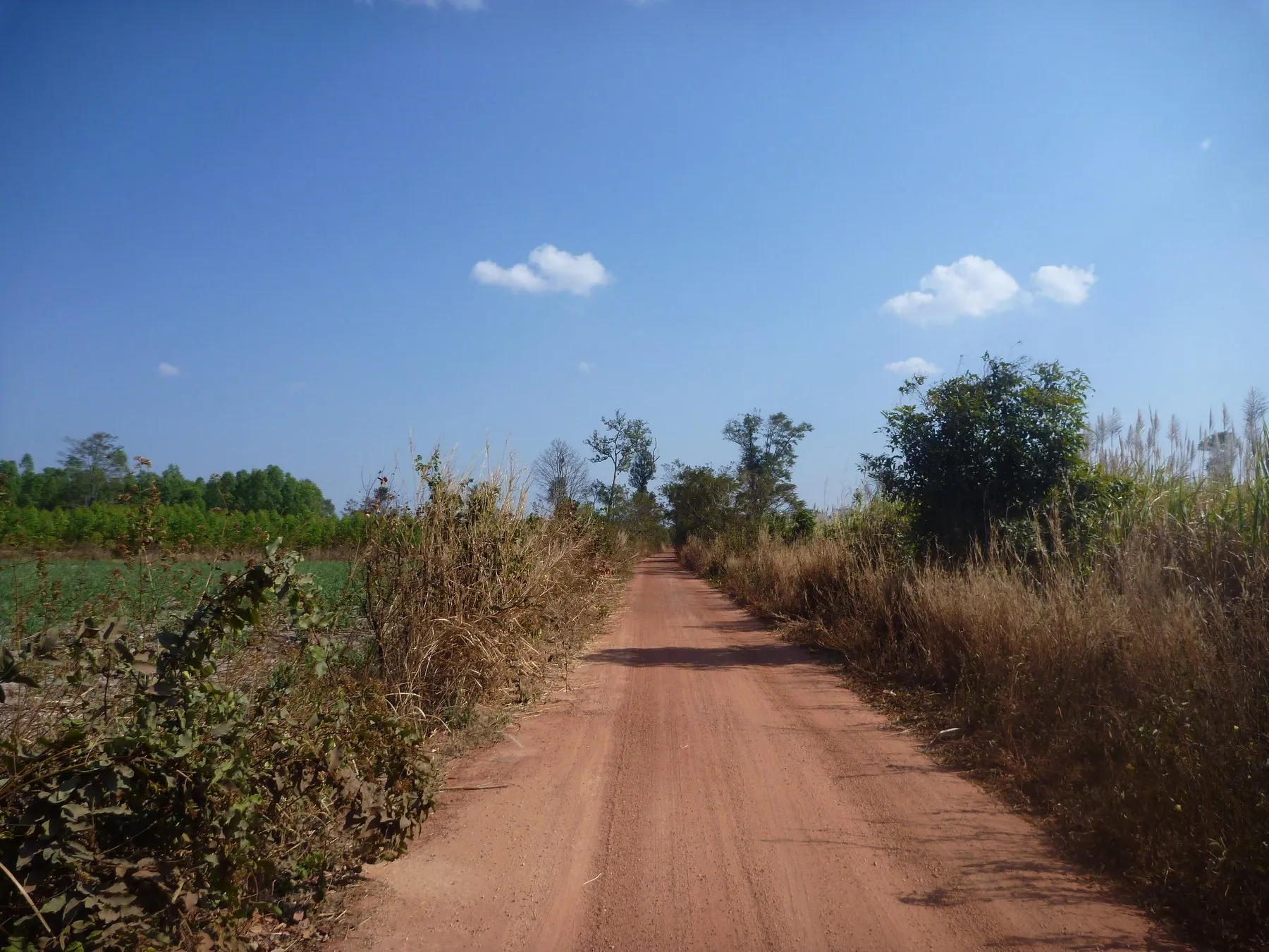
Most Isaan highways are four lanes divided, with a wide central reservation, generous verges and a parallel service road for local traffic. Sight lines are long. Junctions are signposted in Thai and English. Fuel is everywhere on the main routes. The road surface is generally sound, if occasionally patched, and there are simply not many other vehicles.
It is also the part of Thailand where the driving culture is least aggressive. There is no reason to be in a hurry when the next town is fifty kilometres away, and it shows. This is why Isaan is the best region in Thailand for cycling, and the same logic applies on four wheels.
What catches people out
The hazards here are agricultural rather than urban, and they are not obvious until you meet one.
- Crops drying on the carriageway. After the rice harvest, and again during the cassava season, farmers spread grain and chips on the tarmac to dry, usually on the shoulder but sometimes across a full lane, marked with a branch or a tyre. Slow down and go round; do not drive over it.
- Sugarcane lorries. From roughly December to April the cane goes to the mills on trailers loaded to twice the height of the cab, shedding stalks as they go. Do not follow one closely and do not sit alongside one on a bend.
- Hand tractors. The two-wheeled e-taen tractor, with a trailer hitched behind and no lights at all, is standard rural transport. At dusk it is effectively invisible.
- Village strips. The highway runs straight through the middle of villages with houses, shops and a school on both sides. Speed bumps arrive with little warning; children and dogs arrive with none. See speed bumps and unmarked hazards.
- Loose livestock. Cattle and buffalo are grazed on unfenced verges and cross when they feel like it, especially at dawn and dusk. Livestock on Thai roads covers what to do.
Night driving is the real risk here, not the traffic. Long unlit roads, unlit farm vehicles, animals on the verge and a genuinely high rate of drink-driving after dark combine badly. Isaan is a region to drive in daylight and drink beer in the evening, not the other way round. See driving at night in Thailand.
Distance, fuel and planning
Isaan rewards a slow itinerary. Korat to Ubon Ratchathani is around 350 kilometres; Ubon to Nakhon Phanom another 300 on top; the full circuit described in the Isaan loop comfortably exceeds 1,500 kilometres. Plan three or four hours of driving a day and use the rest for temples, markets and the Mekong.
Fuel is not a problem on the numbered highways: large PTT and Bangchak forecourts appear regularly, with the usual coffee, toilets and convenience store — see service areas and rest stops. It becomes a problem on the minor routes near the Lao border and in the Phu Phan hills, where a village pump may be the only option and cash the only currency.
Language and navigation
Main highway signage is bilingual, so getting between cities is straightforward. Once you turn off, signs to a temple, a village or a waterfall are frequently in Thai script only, and transliterations vary wildly between the sign, the map and the guidebook. Being able to recognise a handful of characters helps more here than anywhere else in Thailand — see reading road signs in Thai script.
Mapping is good on the main network and patchy off it; some of the minor routes and dirt farm tracks are drawn identically. Our comparison of navigation apps in Thailand explains which one to trust for what.
The border question
Isaan touches two international borders and they are in very different states. The Lao frontier along the Mekong is calm, with Friendship Bridges at Nong Khai, Mukdahan, Nakhon Phanom and now Bueng Kan; the river road along it is one of the best drives in the region, described in the Mekong river road.
The Cambodian frontier along the southern edge of Buriram, Surin, Si Sa Ket and Ubon Ratchathani is not calm. Following armed clashes, several governments advise against travel close to that border, land crossings have been suspended, and the hilltop Khmer temples that sit astride it have been closed. The current position, and how to check it properly before you plan a route, is in crossing into Cambodia by road. The great inland Khmer sites — Phanom Rung, Muang Tam, Phimai — are well away from the border and unaffected.
Seasons
November to February is dry, clear and cold enough at dawn to want a jacket. March to May is brutally hot; the plateau bakes, and a scooter at midday is genuinely unpleasant. June to October brings the rains, which flood the Chi and Mun river basins in bad years and can close secondary roads for days. Check before committing to a river-valley route in September.
Frequently asked questions
Is Isaan a good place for a first Thai road trip?
Yes — arguably the best. Wide roads, light traffic, calm driving culture and no mountain passes. The only real demand is the distance between things.
Do I need a 4x4 in northeast Thailand?
No. Everything you are likely to want to see is reached on sealed road. A small automatic car is fine, and a pickup only helps if you plan on farm tracks, which your rental agreement probably forbids anyway.
Is it safe to drive near the Cambodian border?
Several governments currently advise against travel within a set distance of that border, and the crossings have been suspended. Check your own government's live advice and stay north of the affected strip — see crossing into Cambodia by road.
Will people speak English?
Much less than on the coasts. Staff at big forecourts, hotels and hospitals in the four main cities generally manage; in villages, assume not. A translation app and a written destination in Thai script solve most of it.
How far can I realistically drive in a day in Isaan?
Four hundred kilometres is comfortable on the main highways and dull. Two hundred and fifty, with stops, is a better day. Try our driving time calculator for specific legs.
Are there tolls in Isaan?
No. Every road in the region is free. Tolls in Thailand are confined to the Bangkok expressway and motorway networks.