Google Maps is the right default for driving in Thailand, and it is not sufficient on its own. Its live traffic is the best available in Bangkok, its points of interest are comprehensive, and its Thai-language search works. What it is weak at is the last two hundred metres — which soi, which side of a divided road, and which of three identical entrances. For that, a Thai-built app called Longdo is better, and for a long drive with no signal you want something that works offline.
The realistic answer for most visitors is two apps: Google Maps for the journey, and either Longdo or an offline map as the backup. Do not rely on one.
- Best overallGoogle Maps
- Best for Thai addresses and soisLongdo Map
- Best for live hazardsWaze, in the cities
- Best offlineDownloaded Google Maps areas, or an OpenStreetMap app
Google Maps
Strengths: complete road coverage including most sois, live traffic that is genuinely accurate in Bangkok and the larger cities, business listings that are kept current by the businesses themselves, working transliteration between Thai and Latin script, and offline area downloads that cover a whole province.
Weaknesses, all of them concentrated at the destination. Thai house numbers are not sequential, so a pin dropped from an address is frequently on the wrong building or the wrong side of the block. On divided roads it does not always make clear which carriageway an entrance is on, which matters enormously in a country where you cannot turn right — see one-way streets, sois and how Thai towns are laid out. And it will occasionally route a car into a lane that is genuinely too narrow for one.
Search for the name of the place, not its address. Thai hotels, restaurants and shops maintain their own Google listings with a pin they have placed themselves, and that pin is far more reliable than one derived from a house number. If you only have an address, search the soi and find the building visually.
If your device offers a two-wheeler routing mode, use it when you are on a scooter: it will route through lanes and connections that a car cannot use, which in a Thai town is a material difference.
Longdo Map
Longdo is a Thai mapping product and it knows things the international apps do not. Soi numbering is accurate and complete. Small local landmarks, government offices, temples and village names are all there. It handles Thai addresses properly — which is to say, it understands what 123/45 Soi Sukhumvit 23 means structurally rather than treating it as a string. It also carries traffic camera imagery, so you can look at a junction rather than trusting a coloured line.
The interface is less polished than Google's and the turn-by-turn guidance is less slick. Use it as the app you consult when Google has put you somewhere that is clearly not right, and as the app you hand to a Thai person when you need to ask where something is.
Waze
Waze is popular with Bangkok commuters for one reason: crowd-sourced reporting. Accidents, closures, flooding, stationary vehicles and police activity are reported by other drivers in real time, and in a city where an underpass can flood in twenty minutes that is valuable.
Its weaknesses are structural. Its map is thinner than Google's on minor roads and sois, so it is good at getting you across a city and poor at getting you to a guesthouse. It has no meaningful offline capability, so it is of no use once you leave coverage. And outside the major cities the reporting community is small enough that the live layer stops being live.
Apple Maps and the rest
Apple Maps has improved considerably in Thailand and is perfectly usable for main roads and well-known destinations. Its business data and its coverage of small streets remain behind Google's, and there is no reason to prefer it unless you particularly want the CarPlay integration.
For offline use, apps built on OpenStreetMap — Organic Maps, OsmAnd, HERE WeGo among them — are worth having. Thailand's OpenStreetMap coverage is good, including in the hills, and these apps work with the phone in flight mode. That matters more than you might expect: mobile coverage in Thailand is excellent by regional standards but there are real dead spots in the northern valleys, in the national parks and along parts of the Mekong.
Download the maps before you leave the city, not when you need them. The moment you discover you have no signal is the moment you cannot download anything. Before any trip into the mountains — the Mae Hong Son loop, Route 1148, the roads around Chiang Rai — download the offline area for the whole province.
What no app gets right in Thailand
Several things are worth knowing regardless of which you use.
Journey times in the mountains are optimistic. Routing engines take road class and geometry into account but consistently underestimate what a Thai mountain road does to an average speed, particularly on a small motorbike. On the northern hill roads, plan on something well below what the app tells you — the driving time calculator is built for exactly this.
U-turns confuse the display, not the route. When the app takes you past your destination and doubles back, it is correct; the right turn does not exist. See U-turns in Thailand.
Expressway and motorway routing needs checking. Apps will route a motorbike onto roads it is banned from, because the underlying restriction is not always tagged. Motorbikes are prohibited on Thai expressways and motorways regardless of engine size — if your route puts you on one, it is wrong. See Thailand's expressways and motorways.
Road numbers on signs may not match the app. Thai signs lead with destinations in Thai and English and with a route shield; apps lead with road names. Learning to read the shields is quicker than it sounds — Thai highway numbers and distance signs decoded.
Practical setup
- Get a local SIM or eSIM at the airport. Data in Thailand is cheap and fast, and tourist packages are sold in every arrivals hall. Navigation without data is a much worse experience.
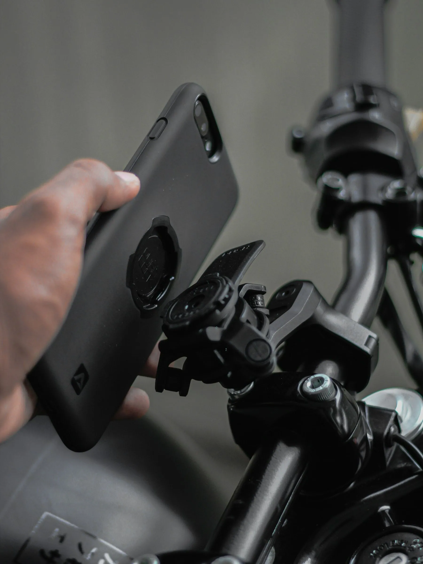
- Mount the phone properly. A cheap clamp will vibrate loose on a Thai road surface. On a motorbike, sustained handlebar vibration is known to damage phone camera modules — use a mount with rubber damping, and think twice about mounting an expensive phone to a scooter at all.
- Wire in power. Screen-on navigation in bright sun with the phone cooking in a dashboard mount will empty a battery in a couple of hours.
- Watch the heat. A phone in direct sun on a windscreen mount will thermally throttle and eventually shut down. Angle it out of the sun or use a vent mount.
- Screenshot your route. Before setting off somewhere remote, take a screenshot of the overview map. It survives everything.
And when the app is not enough
Thai people are generally happy to point, and a phone showing a map in Thai script is a better question than a phone showing one in English. Longdo, or Google Maps switched to Thai, both work for this. If you are lost in a town, the reliable approach is to find the nearest 7-Eleven or petrol station and ask there.
For the wider context of what you are navigating, driving in Bangkok and how Thai traffic actually works are the two pages that make the map make sense.
Does Google Maps work well in Thailand?
Yes — it is the best all-round choice, with strong road coverage and the most accurate live traffic. Its weakness is pinpointing exact addresses, because Thai house numbers are not sequential.
What is the best app for finding a Thai address?
Longdo Map. It is built for Thai addressing and soi numbering, and it includes local landmarks and traffic camera imagery that the international apps do not.
Is Waze better than Google Maps in Bangkok?
For live incidents and flooding, its crowd reports are useful. For everything else, Google's map is more complete, and Waze cannot work offline at all.
Do I need offline maps in Thailand?
For cities, no — coverage is good. For the northern mountains, national parks and remote border roads, yes. Download the provincial area before you leave a town with signal.
Will navigation apps route a motorbike onto an expressway?
Sometimes, and it is wrong — motorbikes are banned from Thai expressways and motorways. Check your route before you follow it onto an elevated road.
Should I get a Thai SIM card for navigation?
Yes. Tourist data packages are inexpensive, sold at every airport, and make live traffic and search work properly. An eSIM bought before you fly does the same job.