The number of digits in a Thai road number tells you what kind of road it is. One digit is a national trunk route running from Bangkok to a region. Two digits is a major inter-provincial road. Three digits is a secondary route within a province. Four digits is a local road serving a district — and a four-digit road may be a good sealed lane through rice fields or it may be broken concrete with a herd of buffalo on it.
Once you know that, a Thai road atlas becomes readable at a glance, and a route that looks direct on a phone screen stops being a mystery. Route 4 and Route 4030 are not variations on the same road; they are entirely different propositions.
- 1 digitNational trunk route
- 2 digitsMajor inter-provincial road
- 3 digitsSecondary provincial route
- 4 digitsLocal district road
The four tiers
| Digits | What it is | What to expect |
|---|---|---|
| One | The four trunk routes radiating from Bangkok to the regions | Multi-lane for long stretches, heavy traffic, service stations, good surface |
| Two | Major routes linking the trunk network to provinces | Usually two lanes each way or a wide single carriageway. Reliable |
| Three | Secondary routes into and within a province | Single carriageway, decent surface, passes through villages |
| Four | Local roads serving districts and sub-districts | Enormously variable. Anything from smooth new asphalt to broken concrete or gravel |
The first digit also carries regional meaning. Numbers beginning 1 relate to the north, 2 to the north-east, 3 to the central and eastern regions and 4 to the south. Motorway numbers extend the same logic — 5 for the north, 6 for the north-east, 7 for the central and eastern regions, 8 for the south — and 9 is the Bangkok ring road.
So Route 1095 is a northern road, and its four digits tell you it is a local one. That is the Chiang Mai to Pai road, which is exactly what the numbering suggests: narrow, local, spectacular and slow. See Chiang Mai to Pai: Route 1095 and its 762 bends.
The four trunk routes
Highway 1 (Phahonyothin) runs north from Bangkok through the central plains towards Chiang Rai and the Myanmar and Laos borders.
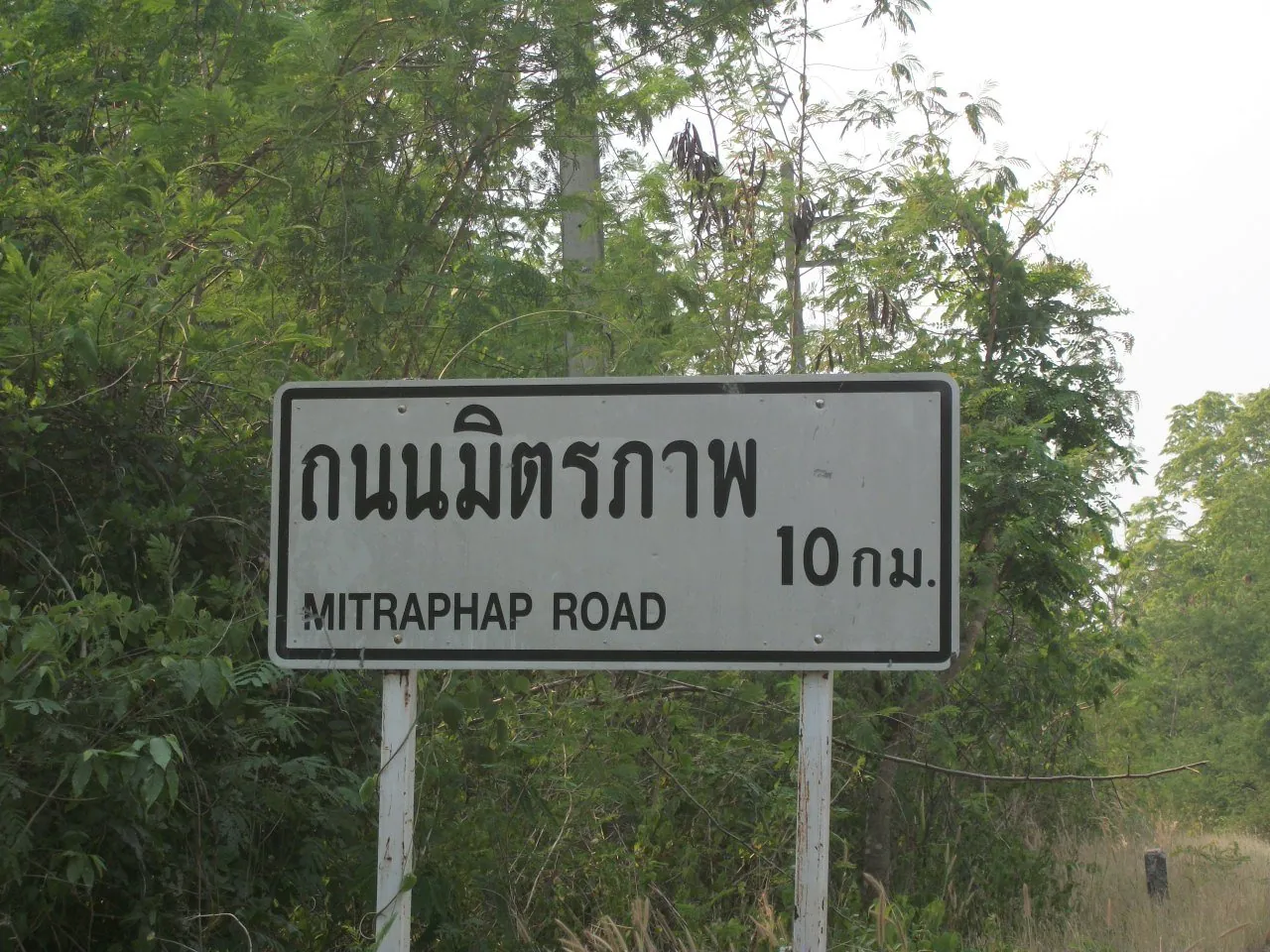
Highway 2 (Mittraphap) runs north-east from Saraburi into Isaan, towards Khon Kaen, Udon Thani and Nong Khai. It is the road into the north-east — see Highway 2: the Mittraphap road into Isaan.
Highway 3 (Sukhumvit) runs south-east along the Gulf coast towards Pattaya, Rayong, Chanthaburi and the Cambodian border.
Highway 4 (Phetkasem) runs south-west and then down the peninsula all the way to the Malaysian border. It is the longest road in the country and it is the spine of every drive to the southern beaches — see Highway 4: Phetkasem, Thailand's longest road.
These four carry names as well as numbers, and Thai drivers use the names as often as the numbers. If somebody tells you to take the Phetkasem road, that is Highway 4.
Use the digit count as a planning tool. A route that a mapping app has taken across three four-digit roads to save fifteen kilometres will not save you time and may not save you anything at all in the rainy season. On an unfamiliar journey, prefer the one, two and three-digit roads even where they are slightly longer. Navigation apps in Thailand covers where the apps go wrong.
Kilometre posts and how to use them
Small concrete or metal posts along the roadside show the distance in kilometres from the road's origin. They run in sequence for the whole length of the route, and they are how Thai authorities describe locations on a highway: the first 120 km/h section was defined as km 4+100 to km 50+000 of Highway 32.
That notation — km 4+100 — means kilometre 4 plus 100 metres. You will see it on official notices and on some signs. As a driver you mostly need the whole number.
Note the kilometre post whenever you stop unexpectedly. "Highway 4, kilometre 218, southbound" tells the police, an ambulance service, your insurer or a recovery truck exactly where you are. A description of the scenery does not. On rural highways it is often the only precise locator available, and it costs nothing to glance at. See what to do when you break down in Thailand and what to do after a road accident in Thailand.
Reading the direction signs
Green rectangular signs carry destinations, route numbers and distances in kilometres. Major highway signs give both Thai and Roman script. The route number appears in a shield or a box, usually alongside the destination.
Two things to know about the destinations themselves. First, the destination shown is often the next significant town rather than where you are going, so a sign that does not mention your destination may still be the right road — check the route number instead of the place name. Second, the Roman spelling of a Thai place name is not standardised and will change from sign to sign: Ubon Ratchathani, Ubol Rajathani and Ubonratchathani are the same city. Matching the Thai script is more reliable than matching the letters, and reading road signs in Thai script without Thai explains how to do that without learning the language.
Brown signs point to tourist and heritage destinations — temples, national parks, waterfalls, historic sites. Blue signs indicate facilities: petrol, hospital, police, U-turn points. The sign vocabulary generally is in Thai road signs explained.
Motorways, expressways and ordinary highways
These are three different things and the numbering does not always make it obvious.
Ordinary national highways are the numbered network described above, free to use, with junctions at grade and everything from lorries to scooters on them. Motorways are tolled, grade-separated inter-city roads with their own numbers in the 5 to 9 range. Expressways are the elevated tolled roads in and around Bangkok, operated separately again.
The practical distinctions are that motorcycles are banned from motorways and expressways entirely, that tolls apply, and that speed limits differ. Which road you are on determines all three. Thailand's expressways and motorways explained covers the network, toll roads in Thailand covers the cost, and speed limits in Thailand for every road type covers the limits.
What the number tells you about the drive
A rough guide for planning, and it holds up well across the country:
- One or two digits: plan on an average of 60 to 70 km/h including stops, more on a divided section, much less near a city.
- Three digits: plan on 50 to 60 km/h. Villages, junctions and slow traffic set the pace.
- Four digits in the flatlands: variable but usually fine. Plan on 40 to 50 km/h.
- Four digits in the mountains: plan on 30 to 40 km/h and be prepared for the road to be worse than the map suggests, particularly in the rainy season.
The driving time calculator applies this arithmetic for you. The general rule for Thailand is that distance tells you very little and road class tells you almost everything.
Frequently asked questions
What do Thai highway numbers mean?
The digit count gives the road's class: one digit for a national trunk route, two for a major inter-provincial road, three for a secondary provincial route and four for a local district road. The first digit also indicates the region — 1 north, 2 north-east, 3 central and east, 4 south.
What are Highways 1, 2, 3 and 4?
The four trunk routes from Bangkok: Highway 1 (Phahonyothin) north, Highway 2 (Mittraphap) north-east into Isaan, Highway 3 (Sukhumvit) south-east along the Gulf coast, and Highway 4 (Phetkasem) south down the peninsula to Malaysia.
What does km 4+100 mean on a Thai sign?
Kilometre 4 plus 100 metres, measured from the origin of that route. It is the standard way Thai authorities describe a point on a highway, and kilometre posts along the roadside carry the whole numbers.
Is a four-digit road worth taking?
Sometimes. Four-digit roads are local and range from excellent to poor without warning. They are often the scenic choice and rarely the fast one. On an unfamiliar journey, and especially in the rainy season, prefer a numbered road with fewer digits.
Why does the sign not mention my destination?
Because Thai direction signs usually show the next significant town rather than the far destination. Follow the route number rather than the place name, and be aware that the Roman spelling of Thai place names varies from sign to sign.
How are motorways numbered differently?
Motorways use numbers in the 5 to 9 range following the same regional logic — 5 north, 6 north-east, 7 central and east, 8 south, 9 for the Bangkok ring. They are tolled, grade-separated and closed to motorcycles, unlike the ordinary numbered highways.