Southern Thailand is a long narrow peninsula with a coast on each side, and driving it is mostly a question of choosing which coast you are on and when. The roads themselves are good: the trunk routes are four-lane divided highways in decent condition, distances between towns are short by Thai standards, and there are no mountain passes to compare with the north. What shapes a southern itinerary instead is weather that arrives on the two coasts at different times of year, a great deal of heavy plantation traffic, and the ferry timetables that stand between you and most of the islands.
The one thing worth knowing before you plan anything: the far southern provinces on the Malaysian border carry travel advisories from several governments, and that genuinely does affect route choice at the bottom of the peninsula. Everything else in the south is normal holiday driving.
- Main routesHighway 4 down the Andaman side, Highway 41 down the middle
- Andaman wet seasonRoughly May to October
- Gulf wet seasonRoughly October to January
- Islands reachable by roadPhuket and Koh Lanta; the rest need a ferry
One narrow country, two coasts
North of Surat Thani the country is genuinely thin — at Kra Buri in Ranong it narrows to a few tens of kilometres between the Andaman Sea and the Burmese border — and the road network reflects that. There is essentially one route through the isthmus, and it is Highway 4.
South of Chumphon the peninsula widens and splits into two corridors. Highway 4 swings west to Ranong and runs down the Andaman side through Khao Lak, Phang Nga, Krabi and Trang. Highway 41 carries on down the middle through Surat Thani, Nakhon Si Thammarat and Phatthalung, where the two rejoin. Highway 41 is faster; Highway 4 is far better looking.
| Route | Links | Character |
|---|---|---|
| Highway 4 | Chumphon – Ranong – Khao Lak – Krabi – Hat Yai | Coastal and scenic; hilly at Ranong |
| Highway 41 | Chumphon – Surat Thani – Nakhon Si Thammarat – Phatthalung | Fast four-lane inland spine |
| Highway 401 | Surat Thani – Khao Sok – Takua Pa | The cross-peninsula link; jungle and lake |
| Highway 44 | Surat Thani province – Ao Luek, Krabi | Wide, fast, almost empty |
| Highway 402 | Phang Nga – Sarasin Bridge – Phuket | The only road onto Phuket |
The two monsoons
This is the fact that determines when to drive where. The Andaman coast — Ranong, Khao Lak, Phuket, Krabi — takes the southwest monsoon and is wettest from roughly May to October. The gulf coast — Surat Thani, Samui, Nakhon Si Thammarat — takes the northeast monsoon and is wettest from roughly October into January. They do not coincide, which is why there is no genuinely bad time to visit the south as a whole, only a bad time to visit one side of it.
Rain here is not drizzle. It arrives as a wall, drops visibility to a few car lengths, floods the drains within minutes and leaves standing water in the wheel ruts of every highway. The recovery is quick — an hour later the road is steaming and dry — but the half hour in the middle is not a time to be overtaking a lorry. See the rainy season and flooded roads, and on two wheels, riding in tropical rain.
The gulf coast floods properly. In a bad northeast monsoon, Nakhon Si Thammarat and Surat Thani provinces see roads under water for days and ferries to Samui suspended. If you are driving the south between October and December, keep the itinerary loose and check the ferry operators before committing to a booking on the far side.
What the traffic is like
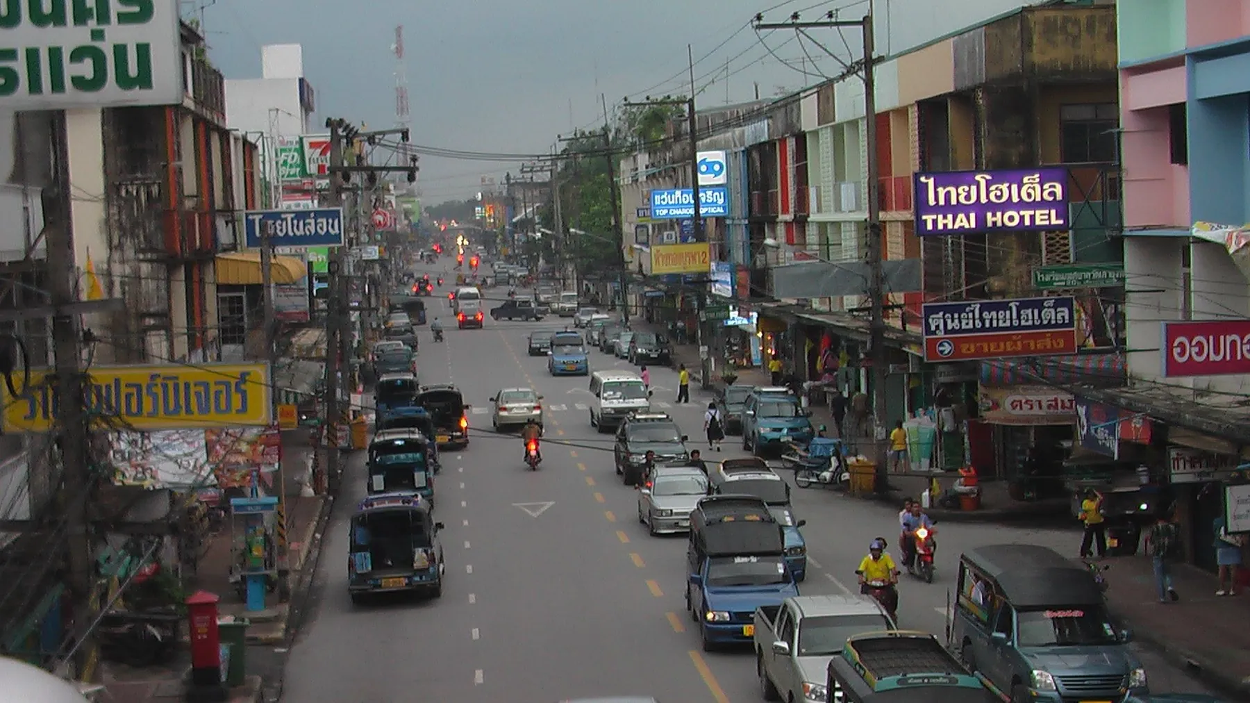
Southern highway traffic is dominated by plantation freight. Rubber and palm oil are the region's industries, and that means loaded lorries on every road: latex tankers, flatbeds stacked with oil-palm fruit bunches, timber, and pickups converted into something considerably heavier than a pickup. They are slow uphill, they do not stop quickly, and they shed debris.
In the towns, the local hazard is the songthaew — the converted pickup with bench seats that serves as a bus, stopping anywhere, without warning, usually in the left lane. How songthaews stop is worth reading before you drive in Krabi or on Phuket.
On the coast roads, watch the surface itself. Wind-blown sand across the tarmac near beaches, and gravel washed out of side tracks after rain, both catch riders on corners. Sand and gravel on Thailand's coastal roads covers the technique.
Islands and ferries
Two southern islands can be reached without a boat. Phuket is joined to the mainland at the Sarasin Bridge on Highway 402, which is why so many road trips start there — see Phuket to Khao Lak and Khao Sok. Koh Lanta Yai is reached by the Siri Lanta Bridge from Koh Lanta Noi, but Lanta Noi itself is still reached by a short vehicle ferry from the mainland at Ban Hua Hin, so the crossing has not gone away entirely.
Everything else — Samui, Phangan, Tao, the Trang islands, Phi Phi — needs a boat, and only some of those boats take vehicles. Which islands you can drive to and how the loading works is set out in taking a car or motorbike on a Thai island ferry, and the practicalities of the two main crossings in the Koh Chang and Koh Samui vehicle ferries.
If the island is small and flat, leave the car on the mainland. Surat Thani rental desks and the Don Sak pier area both offer secure parking, and hiring a scooter on arrival is cheaper and easier than shipping a vehicle you will barely use.
Phuket is the hard part
Nothing else in the south drives like Phuket. It is a small island with a large population, steep hills between the beaches, an infamous descent into Patong, heavy tourist traffic and a crash record that stands out even by Thai standards. If you are working up to southern driving, do the mainland first. Driving in Phuket sets out what makes it different.
The far south
Below Hat Yai the peninsula runs into the provinces covered by long-standing travel advisories: Pattani, Yala and Narathiwat, plus named districts of Songkhla. This affects which roads you would sensibly use to reach the Malaysian border and which you would not. It is a subject that deserves accuracy rather than drama, and it is handled in driving in the deep south: what the advice says and in crossing into Malaysia by road.
Frequently asked questions
When is the best time to drive in southern Thailand?
For the Andaman side, November to April. For the gulf side, February to September. The two coasts have opposite wet seasons, so there is nearly always a dry side.
Can I drive to Koh Samui?
Not directly — Samui is an island. You can drive a vehicle onto the roll-on ferry from Don Sak, but whether your hire car is allowed on it is a contract question. See taking a hire car on a ferry in Thailand.
Is Highway 41 or Highway 4 the better road south?
Highway 41 is quicker and duller. Highway 4 is slower, hillier through Ranong, and one of the finest drives in the country between Phang Nga and Krabi. Choose by destination and by how much time you have.
Are southern roads flooded in the rainy season?
Localised flooding is common and clears fast; serious multi-day flooding happens on the gulf side in a bad northeast monsoon. The main highways are usually passable, but ferries and minor roads are not always.
Do I need a car in the south at all?
For Khao Lak, Khao Sok, the Trang coast and the drive between Phang Nga and Krabi, a car transforms the trip. For an island-only holiday it is dead weight. Our scooter or car tool is built for exactly this decision.
How long does it take to drive the length of the south?
Bangkok to Hat Yai is around 950 kilometres and a hard two days; Phuket to Hat Yai is a comfortable single day. Add time for rain and for lorries on the single-carriageway sections.