The Samoeng Loop is a circuit of roughly 100km that starts and finishes in Chiang Mai and takes in the Mae Sa valley, the hills around Samoeng and the back road down to Hang Dong. It uses three road numbers — Route 107 north out of the city, Route 1096 through the valley, and Route 1269 back over the ridge — and it can be done comfortably between breakfast and a late lunch.
It is the single best thing to do on your first proper day on a Thai motorbike. The corners are real mountain corners, the gradients are genuine, and yet you are never more than about forty minutes from Chiang Mai if it stops being fun. If you are thinking about the Mae Hong Son Loop or the run to Pai, do this first and find out whether you enjoy mountain roads before you commit to four days of them.
- DistanceAbout 100km
- Riding time3 hours moving, 5-6 with stops
- Roads107, 1096, 1269
- Best seasonNovember to February
- Vehicle125cc scooter is enough
The route
Head north out of Chiang Mai on Route 107 (Chotana Road) for about 15km to Mae Rim, where a signed left turn puts you on Route 1096. That road runs west up the Mae Sa valley, past the waterfalls and the tourist attractions, over the hills and down into the small town of Samoeng, about 50km from the city. From Samoeng, Route 1269 climbs back east over the ridge and drops you at Hang Dong on the southern edge of Chiang Mai, from where Route 108 and the ring roads take you home.
| Stage | Road | Distance | Character |
|---|---|---|---|
| Chiang Mai - Mae Rim | 107 | about 15km | Flat, busy, four lanes |
| Mae Rim - Mae Sa valley top | 1096 | about 20km | Gentle climb, tourist traffic |
| Valley top - Samoeng | 1096 | about 25km | Open ridge, fast sweeping bends |
| Samoeng - Hang Dong | 1269 | about 35km | Steep, tight, technical |
| Hang Dong - Chiang Mai | 108 | about 15km | Flat, town traffic |
Which way round
Anticlockwise — Mae Rim first, Hang Dong last — is what most people ride, and it is the right choice for a first attempt. It puts the easy climb at the start while you are still working out where the brakes are, gives you the open ridge section in the middle, and saves Route 1269 for the end, by which point you have had three hours of practice.
Route 1269 is the part that surprises people. It is markedly steeper and tighter than the 1096, with a series of short, sharp climbs and descents, blind crests, and a few genuinely severe hairpins on the drop towards Hang Dong. Ridden anticlockwise, you descend it. Ridden clockwise, you climb it, which is easier on the brakes and harder on a small engine.
If you only have half a day
Ride out on Route 1096 as far as the Mon Cham viewpoint turning, have a coffee, and come back the way you came. That is about 60km round trip, takes two to three hours, includes the prettiest part of the valley, and skips the demanding 1269 entirely. Nobody will know.
What the road demands
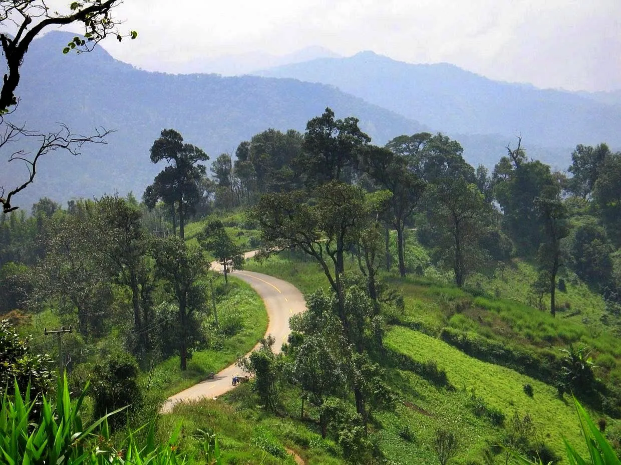
Less than its reputation suggests, but more than nothing. The tarmac on both the 1096 and the 1269 is good — this is a well-maintained tourist corridor, not a back road — and there are no unsurfaced sections on the standard loop. What you get instead is sustained gradient and a lot of corners with limited sight lines.
The specific things to be ready for:
- Steep short pitches on the 1269. Several of them will have a 110cc automatic scooter down to walking pace with a passenger aboard. It will get up; it will just be slow and loud about it.
- Brake fade on the descents. The drop from the ridge to Hang Dong is long. Drum brakes on a cheap scooter do not enjoy being dragged for five kilometres. Let the bike run a little between bends rather than braking continuously.
- Tour vans and pickups in the Mae Sa valley. The first 20km of the 1096 serve elephant camps, botanical gardens and zip-line operations, so there is a steady stream of minibuses pulling in and out of driveways without much warning.
- Grit on the apexes. Particularly after rain, and particularly on the 1269 where the banks are steeper. See mountain roads and hairpin bends.
The Mae Sa valley is where Chiang Mai's rental scooters most often meet the ground. The combination is predictable: a rider on their first or second day, a bike they have not used on hills before, a wet patch under trees, and a corner tighter than it looked. If you drop it, the shop will want paying — read what happens if you drop a rented scooter before you go, not after.
Is a 125cc scooter enough?
Yes. This is one of the few mountain routes in the north where an ordinary automatic scooter is genuinely adequate rather than merely survivable. Solo it is fine. Two-up it will struggle on the steepest pitches of the 1269 and you should expect to be crawling, but nothing will break.
If you have the choice, a 150cc machine makes the day noticeably more relaxed, and if you have any interest in the larger loops it is worth using this ride to try one. Our guide to choosing a rental scooter covers the difference between the sizes, and renting a motorbike in Chiang Mai covers the shops.
In a car the loop is easy and pleasant. Route 1269 is narrow in places and you will meet oncoming vehicles on corners, but there is nothing here that requires anything more than an ordinary small automatic.
Where to stop
Mae Sa Waterfall is the first stop most people make, roughly 6km up Route 1096 from Mae Rim. It is a ten-tier cascade with a walking path alongside, inside a national park, so there is an entrance fee at the gate. Busy at weekends, quiet on a weekday morning.
Queen Sirikit Botanic Garden is a little further on and is genuinely good — a large hillside site with a canopy walkway and a set of glasshouses. Allow two hours if you go in.
Mon Cham sits on a ridge above the valley, reached by a signed side road that is steep and, in its final section, quite rough. The reward is terraced vegetable gardens, a row of open-air restaurants, and one of the better views in the province. The access road is the one place on this ride where a small scooter with a passenger will genuinely struggle, and where the descent needs care.
Samoeng itself is a low-key district town rather than an attraction. There is fuel, there are noodle shops, and there is a 7-Eleven. That is the point: it is the last reliable stop before the 1269, and it is the natural place to eat.
The 1269 viewpoints. There are several unmarked pull-ins on the climb out of Samoeng with long views back over the hills. They are more rewarding than anything in the valley and almost nobody stops at them.
When to go
November to February is the best window, as it is everywhere in the north: dry road, clear air, comfortable temperature. Mornings in the hills can be genuinely cold in December and January, so take a layer.
March and April are burning season. The valley fills with smoke from agricultural fires, the viewpoints show you a wall of grey, and the air is unpleasant to breathe for several hours on a bike. The riding is unaffected; the reason to come is not.
May to October is the rainy season. This is a good loop in the wet by Thai standards — it is short, you are never far from shelter, and afternoon storms are usually brief — but the 1269 becomes considerably more serious when it is greasy, and the run-off crosses the road in sheets. Ride the loop in the morning and be back before the afternoon build-up.
Weekends bring Chiang Mai's own traffic out into the Mae Sa valley in numbers, along with organised motorcycle groups. A Tuesday is a different and much emptier road.
Route 1096 through the Mae Sa valley is also one of the standard training climbs for Chiang Mai's cycling community, and you will meet riders on it at almost any hour. Give them room on the blind bends — see cycling in Chiang Mai for the routes they use.
Getting out of Chiang Mai and back in
The loop itself is straightforward. The city at either end is the fiddly part. Chotana Road north is wide and fast and has U-turn bridges rather than right turns, which catches out anyone who has just arrived; the Hang Dong end drops you onto Route 108 in among Chiang Mai's outer ring roads. Both are covered in driving in Chiang Mai, and the general logic of Thai junctions is explained in U-turns in Thailand.
Fuel up before you leave the city. There are pumps in Mae Rim and Samoeng, and small village pumps in between, but the loop is short enough that one tank does it comfortably.
Frequently asked questions
How long does the Samoeng Loop take?
About three hours of actual riding. Most people take five or six hours door to door with a waterfall, a viewpoint and lunch. It is a half-day ride if you are efficient and a full and satisfying day if you are not.
Can a complete beginner ride it?
If you are comfortable on an automatic scooter on flat roads and have ridden in Thai traffic for a day or two, yes — anticlockwise, in the morning, in the dry, without a passenger. If you have never ridden anything, this is not the place to start; learn on flat ground first.
Which direction is better?
Anticlockwise (Mae Rim first) for most people, because it saves the hard part for when you are warmed up and gives you the descent rather than the climb on Route 1269. Clockwise is kinder to a small engine and to your brakes, and it is a better choice two-up.
Is there anywhere to stay in Samoeng?
There are a few small resorts and guesthouses around Samoeng and along the ridge, and staying out there turns a day ride into a pleasant overnight. Most people treat it as a day loop from Chiang Mai and return the same evening.
Can I do it in a hire car?
Yes. Both roads are sealed and two-lane throughout. Route 1269 is narrow with tight bends, so take it slowly and expect to meet oncoming traffic on corners, but there is nothing that requires a large or four-wheel-drive vehicle.
What if it starts raining?
Stop. Thai rain in the hills arrives hard and passes within the hour, and there is nothing to be gained by riding through the worst of it on a road with this many corners. Wait it out under a shop awning and go on when the surface has stopped running. Riding in tropical rain covers the technique if you are caught out.
Ridden this and want more? The obvious next steps are the Chiang Mai to Pai road, the full Mae Hong Son Loop, or the drive across to Chiang Rai on Highway 118. For the wider picture of what riding up here involves, see driving in northern Thailand.